Search
List of streets in Hamilton, Waikato

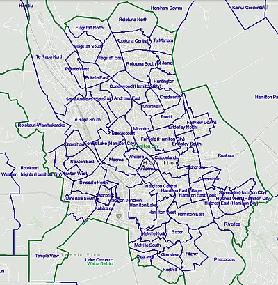
Hamilton streets have been formed since the 1864 Invasion of the Waikato, after which the first crown grants were given to members of the occupying force, the 4th Waikato Militia, and plans made of the initial street layout. The tables below show the 1,782 streets listed by Hamilton City Council as at 3 August 2020. They also include information from Hamilton City Libraries Heritage street name index cards. As the dates of naming and the old maps (see External links below) show, the city has grown a lot since it was village in 1864. The shortest roads are small cul-de-sacs, the longest road reaching the centre of the city is River Road, which stretches 20 km (12 mi) to Ngāruawāhia. The list is not comprehensive, omitting streets such as Percival Road. The suburbs are as shown on the 2020 list, though there is some inconsistency, such as May and the adjoining June streets being shown in different suburbs.
Bader
Beerescourt
Chartwell
Chedworth
Claudelands
Deanwell
Dinsdale
Enderley
Fairfield
Fairview Downs
Fitzroy
Flagstaff
Forest Lake
Frankton
Glenview
Grandview Heights
Hamilton Central
Hamilton East
Hamilton Lake
Harrowfield
Hillcrest
Huntington
Maeroa
Melville
Nawton
Pukete
Queenwood
Riverlea
Rotokauri
Rototuna
Ruakura
Saint Andrews
Silverdale
Te Rapa
Temple View
Western Heights
Whitiora
References
External links
Maps -
- 1864 Hamilton West East
- 1879 Claudelands
- 1895 Hamilton West
- 1924 Hamilton E
- 1925 Jolly estate, Frankton
- 1936 Hamilton map
- 1953 Hamilton map
- 1954 Hamilton growth map, showing extensions of the city 1912-1954
- 1956 Frankton map
- 1966 Te Rapa map
- Hamilton street maps 1968, 1974, 1981
Text submitted to CC-BY-SA license. Source: List of streets in Hamilton, Waikato by Wikipedia (Historical)
Owlapps.net - since 2012 - Les chouettes applications du hibou


